Zimbabwe's national land administration platform — property search, eMaps, e-lodgement and geodetic services, fully online
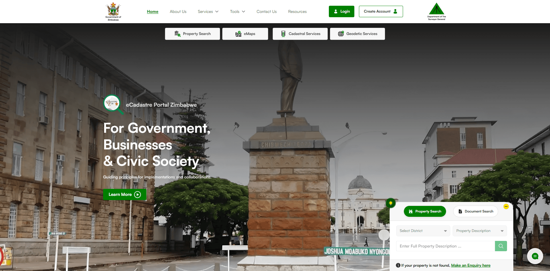
The Department of the Surveyor General is the statutory custodian of every cadastral survey in Zimbabwe — the authority on land boundaries, tenure and geodetic reference for the whole country. That custodianship lived in paper records inside two physical offices, in Harare and Bulawayo. In support of the Presidential title deeds and settlement regularization programme, the Department needed its entire land administration workflow taken online: the eCadastre.
- Client
- Department of the Surveyor General
- Government of Zimbabwe · Land Administration
- Delivered At
- Techsys
- My Role
- Lead UX Engineer & Frontend Developer
Districts searchable online
Service modules in production
Physical offices it replaced as the only access point
- UX architecture across the full service catalogue — how citizens, surveyors and staff move through property search, eMaps, e-lodgement, survey records, geodesy and billing
- Frontend development of the portal: Django templates, Bootstrap 5 and JavaScript across the public site and every service dashboard
- Property search and document verification user journeys covering all 51 districts
- E-lodgement and billing flows — multi-step submission forms and the map, dataset and survey product checkout
- Guided first-visit onboarding tour introducing the service catalogue
The eCadastre puts the Surveyor General's full service catalogue online — from a property search that returns official diagrams, to e-lodgement that lets licensed surveyors submit work for examination without travelling to Harare.
Property Search & Verification
Search any property across 51 districts and obtain its official diagram and verification — from anywhere in the world
eMaps — National Mapping Online
Full national map coverage, from the new 1:25,000 topographic series to the updated Harare street map
E-Lodgement
Surveyors submit surveys for examination digitally, with completeness checks enforced at upload
Survey Records Search
Over a century of survey records digitised and traceable, as stipulated in the Land Survey Act (20:12)
Geodetic Services
National geodetic datasets in digital form — the spatial backbone of the multi-purpose cadastre
Billing & Payments
Registered users buy maps, datasets and products online with secure, instant delivery
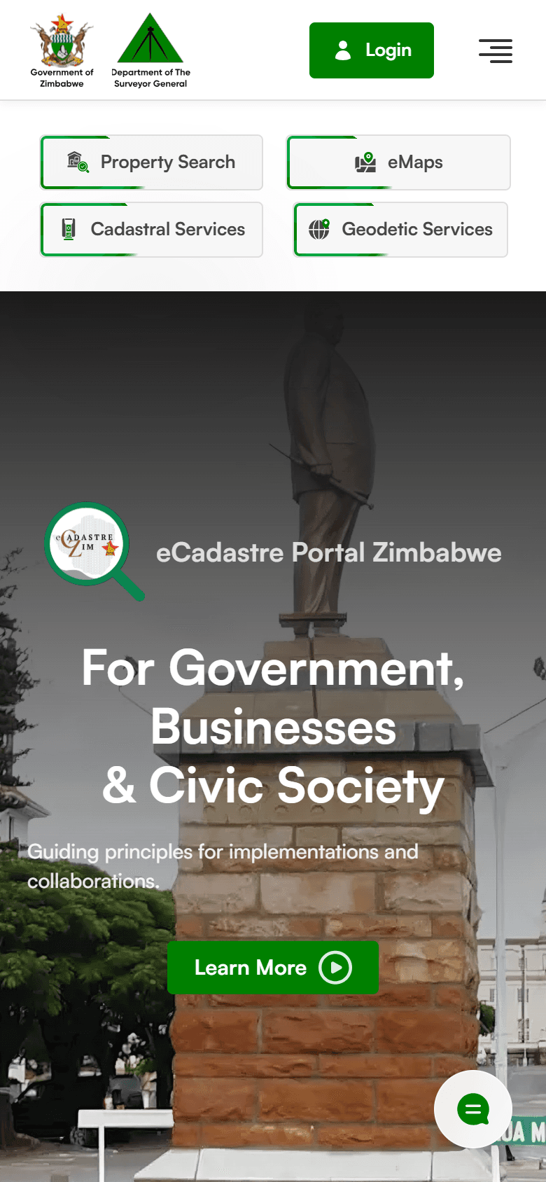
Every land service, one portal
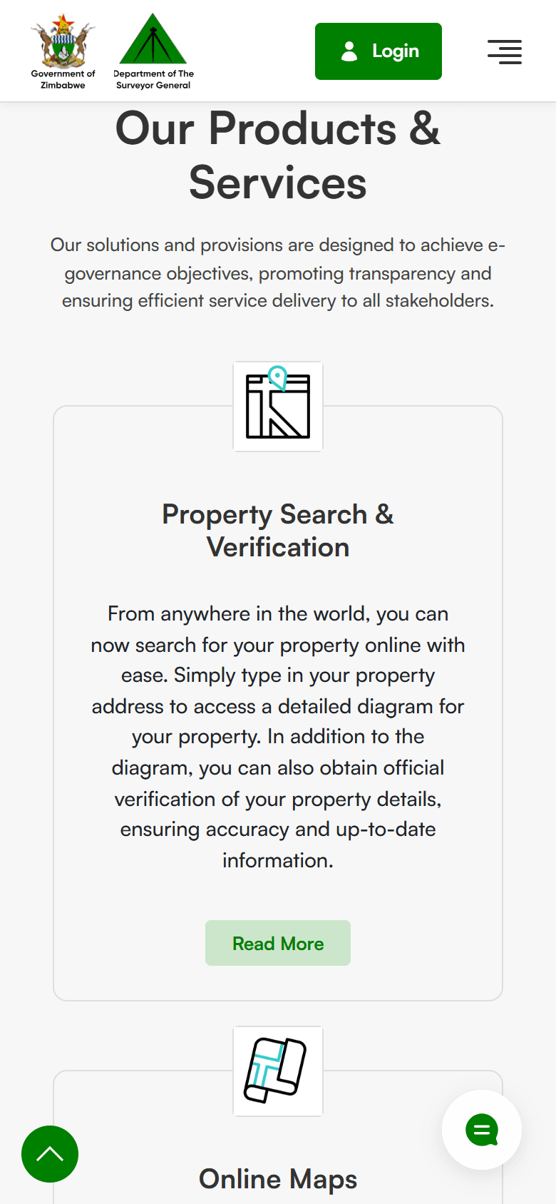
Six services, fully online
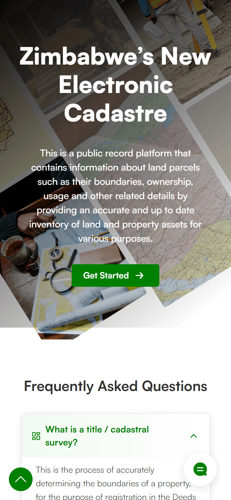
A public record the nation can query
Live in production for the Government of Zimbabwe at zimcadastre.co.zw
Districts covered by online property search
Digital service modules live in production
Access to services that used to need an office visit
Carefully selected technologies for performance, scalability, and developer experience.
Frontend
Core technologies powering the application's foundation and user experience.
Backend
GIS & Data
Payments
Infrastructure
Technologies
Categories
Type Safe
Stack

Next Project
CBZ Property & Mortgage Portal
Property investment and mortgage origination platform for Zimbabwe's largest financial services group
View ProjectWork With Me
Let's Build Something Like This
Need an AI-powered product that actually works in the real world? Let's talk about your project.